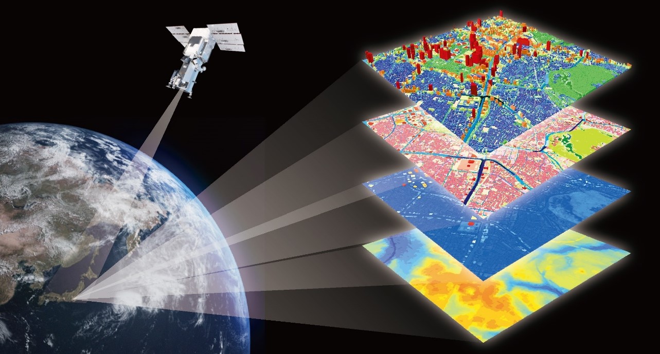
In the remote sensing sector, Histar provide the complete services from satellite design to remote sensing applications (A-Z) includes: payload design, manufacturing and integration, data acquisition and transmission, data processing and analysis, remote sensing product generation, and application development and delivery.
With an advanced technical team, extensive project experience, and robust solutions, we provide end-to-end servicesthrough AI-basedremote sensing system including abilities of data organization, data processing, and data application: In environmental monitoring, we support land use change analysis, ecosystem health assessment, and climate change research. In the agricultural sector, we offer crop growth monitoring, soil moisture and fertility analysis, and pest and disease early warning services. In disaster management, we are committed to real-time natural disaster monitoring, post-disaster impact assessment, and fire early warning. In water resource management, we conduct water quality monitoring, hydrological data analysis, and groundwater resource assessment. In urban planning, we assist with urban expansion monitoring, infrastructure planning, and environmental quality assessment. In marine and coastal zone management, we provide marine environment monitoring, coastal change analysis, and fisheries resource management support. In the meteorology and climate field, we deliver high-precision weather forecasting, climate model validation, and extreme weather monitoring services. In geological and mineral resources, we support geological exploration, geological hazard monitoring, and tectonic research. Through advanced technology and customized services, Histar provide clients with accurate data support and decision-making tools, empowering various industries to achieve efficient development.


